Quick Facts
- Distance: 36.6–37 miles point-to-point
- Elevation: 3,037 ft gain / 4,125 ft loss
- Permits: Required via Recreation.gov ($6 fee)
- Water: No natural sources; manual caching mandatory
- Duration: Typically 2 to 4 days
- Best Season: Late autumn through early spring
The California Riding and Hiking Trail is the crown jewel of Joshua Tree National Park, offering 37 miles of point-to-point wilderness solitude through the Mojave Desert. This guide covers everything from the new 2023-2025 permit system to the critical art of desert hiking water cache planning.
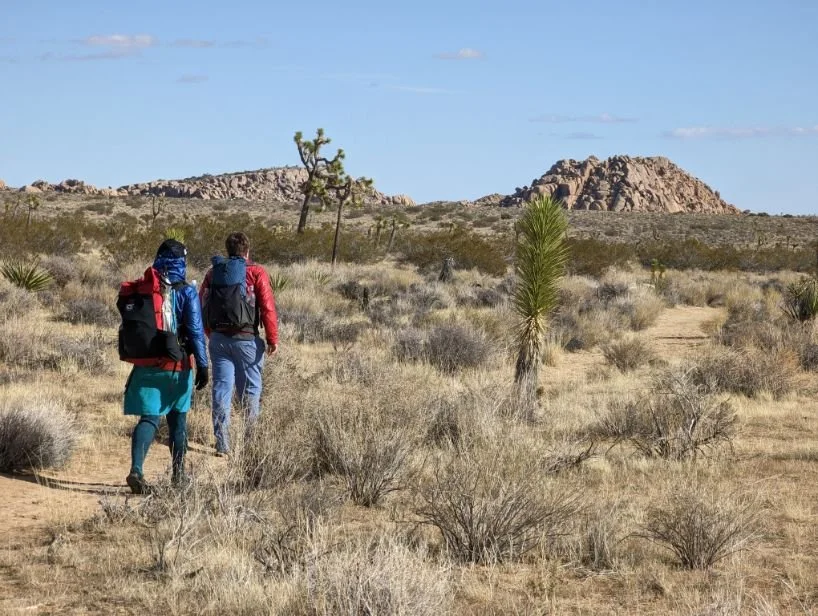
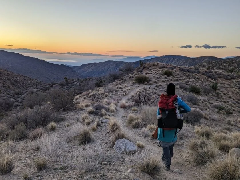
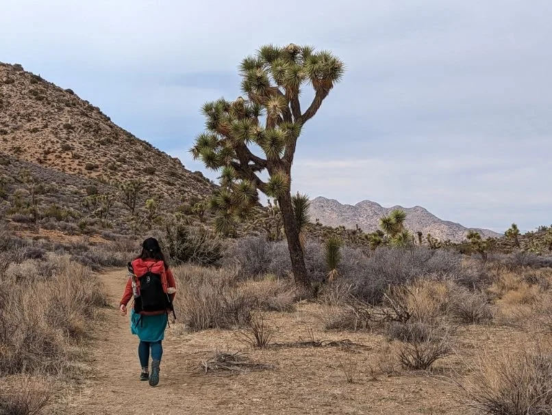
Traversing the heart of the park, the 36.6-mile point-to-point route typically takes backpackers two to three days to complete, though those seeking a more meditative pace often stretch it to four. This is a journey defined by the vastness of the high desert elevation, where the silence is only broken by the occasional call of a raven or the crunch of decomposed granite under your boots.
Permits and Wilderness Regulations
In March 2023, Joshua Tree transitioned to a more structured backcountry management system. To embark on this trek, you must secure a permit through the California Riding and Hiking Trail permit zones and registration guide found on Recreation.gov. Unlike the old self-registration boards, this permit reserved through Recreation.gov involves a $6 non-refundable fee and requires you to select specific zones for each night of your trip.
The park is divided into several wilderness zones. When planning your itinerary, remember that your Joshua Tree CRHT wilderness camping regulations and rules dictate that you must set up camp at least one mile away from trailheads and 500 feet from the trail or any water sources (though the latter are non-existent here). This system ensures wilderness solitude and prevents over-concentration in popular areas like Ryan Campground or Juniper Flats.
The Water Problem: Caching Logistics
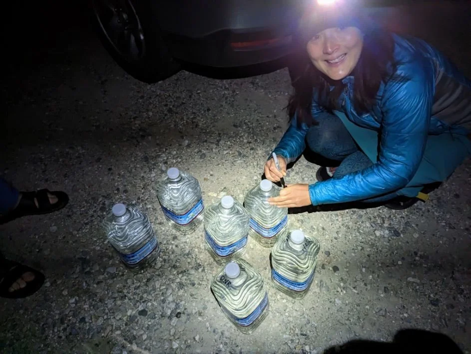
Water is the single most critical factor of this hike. There is no reliable water along the entire route, making desert hiking water cache planning the foundation of your safety strategy. You cannot carry 37 miles worth of water on your back; the weight would be prohibitive. Instead, you must drive into the park a day before or the morning of your hike to drop supplies at designated road crossings.
Follow these steps for how to cache water for California Riding and Hiking Trail:
- Locate the Boxes: The park provides large, metal, animal-proof storage lockers at specific intersections.
- Use Hard-Sided Containers: Plastic gallon jugs are vulnerable. Use heavy-duty, BPA-free containers or secure your jugs inside a secondary bin.
- Label Everything: Use a permanent marker to write your name, phone number, and the date you expect to pick up the cache. Unlabeled water is considered abandoned and will be removed by rangers.
- Calculate Volume: Aim for at least 1.5 to 2 gallons per person per day. Dry camping challenges mean you need water for hydration, rehydrating meals, and basic hygiene.
| Cache Location | Mile Marker (Westbound) | Accessibility |
|---|---|---|
| Ryan Campground | Mile 10.5 | Paved Road |
| Juniper Flats | Mile 16.5 | Dirt Road (High Clearance) |
| Geology Tour Road | Mile 21.0 | Dirt Road (4WD Recommended) |
| Keys View Road | Mile 23.5 | Paved Road |
Route Direction: Westbound vs. Eastbound
Deciding which direction to tackle the trail significantly impacts your physical exertion. With approximately 3,037 feet of total elevation gain and 4,125 feet of descent, the trail has the highest total elevation change of any hiking trail in Joshua Tree National Park.
Most hikers prefer a westbound route starting from the North Entrance (near Twentynine Palms) and finishing at Black Rock Canyon. This provides a net elevation loss and places the most strenuous climbing at the end of the trip when your pack is lightest. Furthermore, finishing at Black Rock puts you near running water and reliable cell service.
Conversely, an eastbound start offers a more gradual introduction to the Mojave Desert flora but requires a heavy uphill pull through the deep sand of the western canyons. Regardless of your choice, ensure you utilize safe parking at Joshua Tree CRHT backcountry trailheads. The North Entrance trailhead and Black Rock both offer designated areas for long-term hiker parking.
Transportation: Car Shuttles and Rideshares
Because this is a point-to-point itinerary, logistics require a bit of movement before you touch the trail. If you are traveling with two vehicles, leave one at your finish point and drive the other to the start. If you are solo or have only one car, you will need to utilize backpacking Joshua Tree car shuttle and rideshare logistics.
The most common method is the "Drop and Ride" strategy:
- Drive to your finishing trailhead (e.g., Black Rock Canyon).
- Park your car and ensure it is registered on your permit.
- Call a rideshare service or a local private shuttle.
- Have them drop you at the starting trailhead (e.g., North Entrance).
Rideshare costs typically range between $70 and $85 depending on the time of day and vehicle availability. Note that cell service is notoriously spotty at the North Entrance; it is often easier to call your ride from the more developed Black Rock area than vice versa. This Joshua Tree thru-hiking logistics setup allows you to hike back to your own vehicle at your own pace.
Desert Safety and LNT Principles
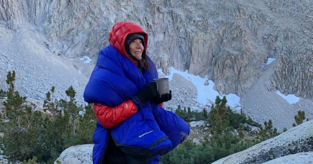
The desert is a land of extremes. While daytime temperatures in spring might feel perfect, nighttime freezing temperatures are common during winter thru-hiking. Always follow the 10-degree rule: assume the temperature will be at least 10 degrees colder than the forecast once the sun dips below the horizon.
Avoid setting up camp in a desert wash terrain. While the sand is soft, these areas act as thermal sinks, trapping cold air and leaving you significantly colder than if you camped on slightly higher ground. Furthermore, flash floods are a rare but real danger in these drainages.
Environmental ethics are paramount in this fragile ecosystem. Detailed LNT desert waste disposal requires the use of wag bags, as human waste does not decompose in the arid soil. Additionally, never use a hammock on a Joshua tree; their root systems are shallow and fragile, and the bark is easily damaged. Protecting the Mojave Desert flora ensures that this trail remains a pristine escape for years to come.
FAQ
How long is the California Riding and Hiking Trail?
The trail is officially measured at approximately 37 miles. Most backpackers find that with small detours for campsites or water caches, the total mileage ends up closer to 38 or 39 miles.
Do you need a permit to hike the California Riding and Hiking Trail?
Yes, a wilderness permit is mandatory for any overnight stay. These must be reserved in advance through Recreation.gov ($6 fee). Self-registration at trailheads is no longer an option for overnight trips.
Is there water available on the California Riding and Hiking Trail?
No. There are no natural, reliable water sources along the route. Backpackers must manually cache water at road crossings before beginning their hike to ensure they have enough for the multi-day trip.
What is the best time of year to hike the California Riding and Hiking Trail?
The ideal windows are from October to November and March to April. These months offer milder temperatures and the potential for spring wildflower blooms. Winter is possible but requires preparation for sub-freezing nights.
How do you shuttle for the California Riding and Hiking Trail?
Most hikers use a two-car system or hire a local rideshare or shuttle service. It is recommended to park your car at the finish line and get a ride to the start so you are hiking back toward your vehicle.
Are dogs allowed on the California Riding and Hiking Trail?
No. Like most National Park backcountry trails, pets are not permitted on the trail. They are restricted to developed areas, such as campgrounds and paved roads.