Quick Facts
- Total Distance: 19-23 miles (depending on summit loops)
- Elevation Gain: ~9,000 feet
- Duration: 1 to 3 days
- Exposure: 12+ miles in the alpine zone
- Pacing: 1.0 - 1.5 MPH (average for experienced hikers)
- Best Season: July - September
- Safety Requirement: Hike Safe card and offline GPS maps
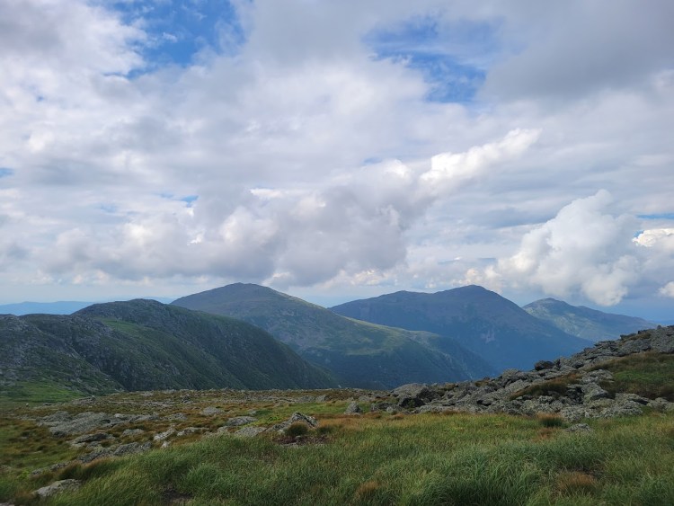
The Presidential Traverse is a demanding 19-mile trek across the Presidential Range in New Hampshire's White Mountains, involving 9,000 feet of elevation gain. Most hikers complete the journey southbound over 1 to 3 days to tackle the rugged northern peaks first. The route crosses seven or more summits over 4,000 feet, including Mount Washington, and requires nearly 12 miles of travel above the treeline in highly volatile weather conditions.
The Logistics: Transportation & Shuttles
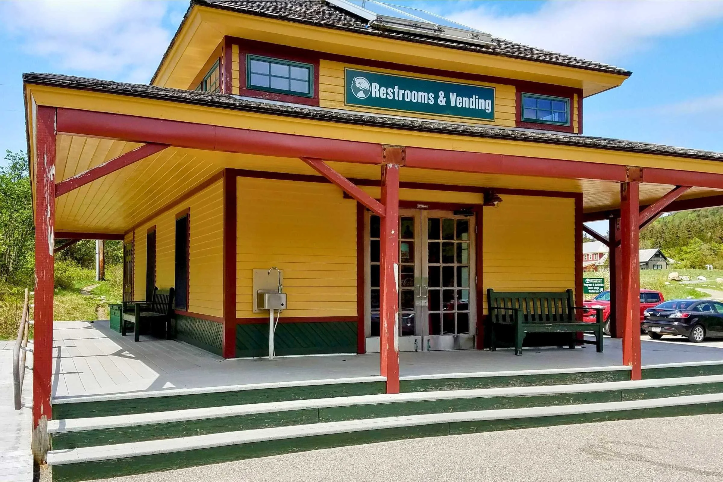
Navigating the Presidential Traverse logistics is often described by locals as the "first crux" of the journey. Because this is a point-to-point hike rather than a loop, you need a plan for getting back to your vehicle. The most common route begins at the Appalachia Trailhead in Randolph and concludes at the Highland Center in Crawford Notch.
The most efficient strategy is to park at the finish point in Crawford Notch and take the AMC Hiker Shuttle or a private service to the starting trailhead early in the morning. This ensures that your vehicle is waiting for you at the end of the strenuous 19-mile journey, eliminating the need to meet a specific pickup time while tired. This is particularly important because hiking speeds in the White Mountain National Forest are notoriously slower than in other regions; the "Northeast Technical" terrain requires constant focus, making it easy to miss a late-afternoon shuttle.
If you are planning a weekend trip, be advised that parking lots at Appalachia and Crawford Notch often fill by 5:00 AM on clear-weather Saturdays. The Appalachian Mountain Club operates the primary shuttle service, but several private regional outfitters offer more flexible schedules for those attempting a Presidential Traverse on weekdays or outside the peak summer season.
Route Selection: SOBO vs. NOBO and Planning your Itinerary
When planning your white mountains traverse, the direction you choose matters significantly. The southbound presidential traverse route breakdown is generally considered the standard approach. By starting at the northern end (Appalachia), you tackle the steepest, most technical climbs of Mount Madison and Mount Adams while your legs are fresh. This direction also keeps the prevailing winds at your back rather than your face and allows for a more gradual descent through the southern peaks like Mount Pierce.
Choosing between a presidential traverse one day vs multi day itinerary depends largely on your fitness and experience with rugged terrain.
- The Single-Day "Death March": This is an ultra-endurance feat reserved for fit peakbagging enthusiasts. It requires a predawn start (usually 3:00 or 4:00 AM) and significant experience with night hiking.
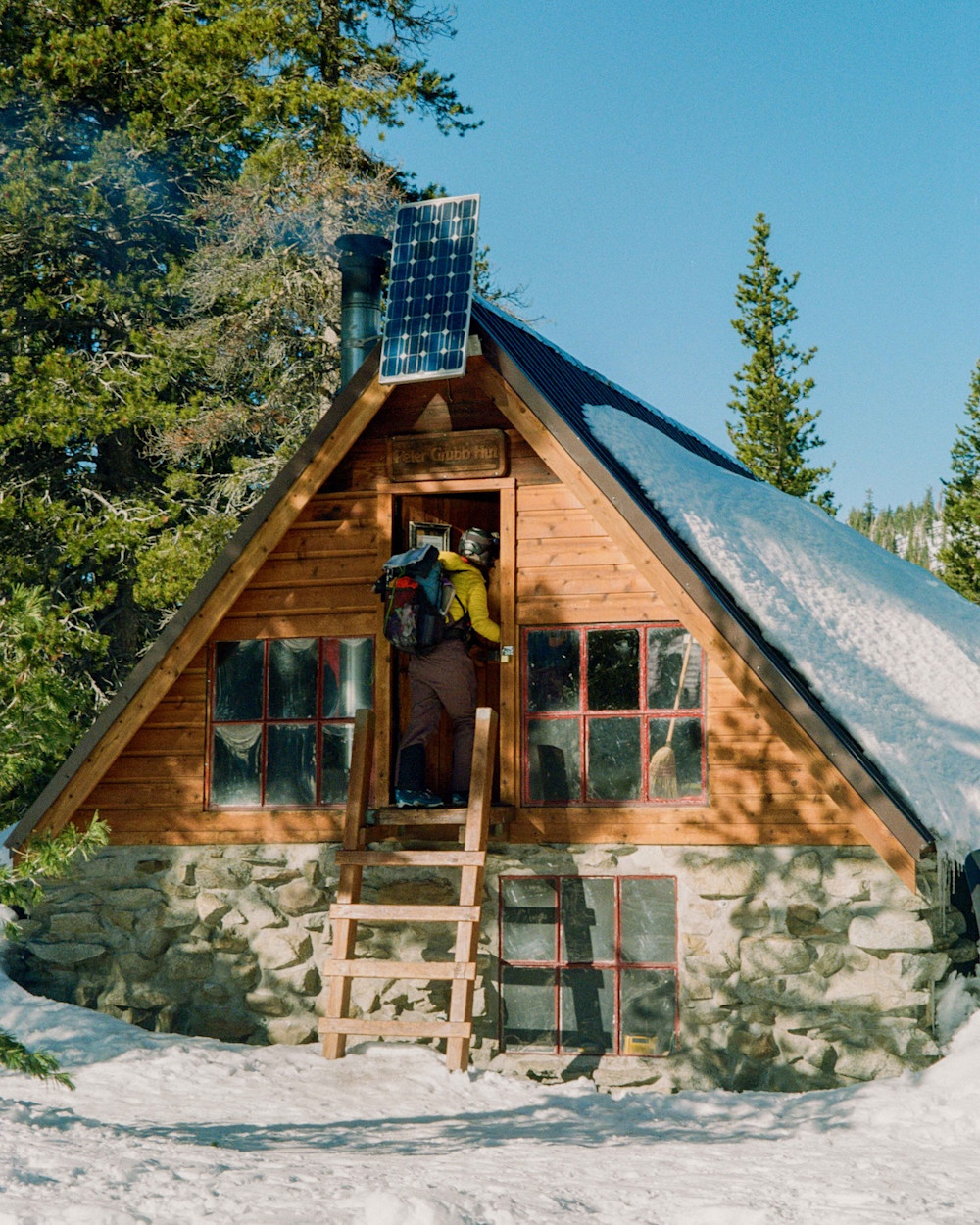
- The Multi-Day Trek: For those who want to savor the views in the alpine zone, staying at the huts managed by the Appalachian Mountain Club is the ideal choice. A typical three-day itinerary might include a first night at Madison Spring Hut and a second night at Lakes of the Clouds Hut.
To estimate your timing, use the classic "Book Time" formula: allow 30 minutes for every mile, plus an additional 30 minutes for every 1,000 feet of elevation gain. For a standard traverse, this formula suggests roughly 14 to 16 hours of moving time, not including breaks.
Essential Gear & The Weather Protocol
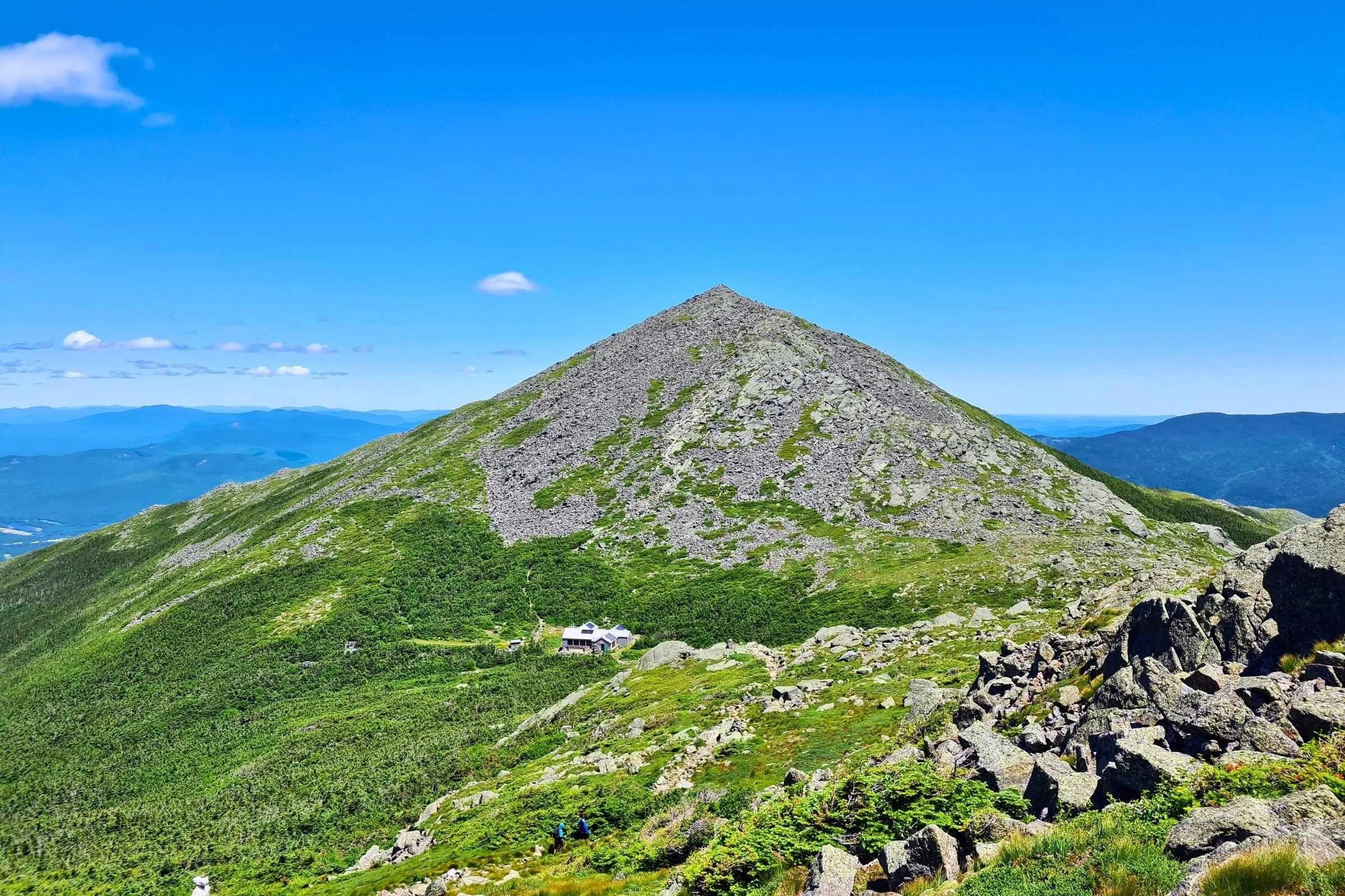
The Presidential Range is home to some of the most volatile weather on the planet. Even in mid-July, it is possible to experience freezing temperatures and hurricane-force winds. A safe traverse requires a disciplined weather protocol. You should check the Mount Washington Observatory higher summits forecast 48 hours out, 24 hours out, and the morning of your departure. If "Conditions Higher Summits" include wind speeds over 50 MPH or visibility less than 1/4 mile, consider postponing or using bailout points.
Your essential gear list for presidential traverse safety must include:
- High-traction footwear: Soles with deep lugs are mandatory for the jagged talus and scree.
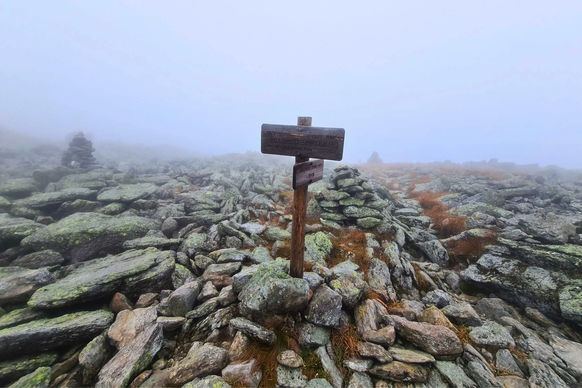
- Navigation: While the Crawford Path is well-traveled, mist can hide the next cairn. Relying on paper maps is good, but downloading offline GPS maps is a modern safety standard.
- The Hike Safe Card: This $25 card acts as a voluntary insurance policy. In New Hampshire, if you require a rescue due to negligence, you can be billed for the costs. The card supports Search and Rescue (SAR) and generally protects you from liability.
Exposure is the primary risk here. Approximately 12 miles of the route are located entirely above the treeline, meaning if a thunderstorm rolls in, there is no natural cover. Always carry a lightweight emergency bivy and robust waterproof layers, regardless of the valley forecast.
Peak-by-Peak: Navigating the High Summits
A full Presidential Range hiking experience involves crossing the major peaks named after U.S. Presidents. Below is the breakdown for a Southbound (SOBO) trek.
Mount Madison
- Elevation: 5,367 ft
- Distance from Start: ~3.8 miles
- Difficulty: Strenuous (steep, rocky ascent via Valley Way or Airline) The climb out of the trees is immediate and unforgiving. Most hikers pause at Madison Spring Hut to drop their packs before the final 0.5-mile rock scramble to the summit.
Mount Adams
- Elevation: 5,774 ft
- Distance from Start: ~5.0 miles
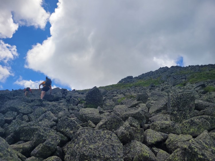
- Difficulty: Very Strenuous (scrambling over talus) This is widely considered one of the hardest sections and scrambling on the presidential traverse. There is no "dirt trail" here; it is a massive pile of jagged rocks. Following the gray rock cairns is essential to stay on the Star Lake or Lowe’s Path trails.
Mount Jefferson
- Elevation: 5,712 ft
- Distance from Start: ~7.5 miles
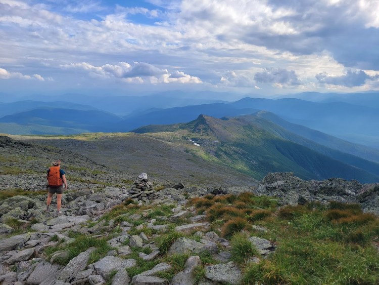
- Difficulty: High (repeated elevation loss and gain) The "Caps Ridge" junction and the "Six Husbands" trail are nearby, but the traverse usually follows the Gulfside Trail. Jefferson offers some of the most dramatic views of the Great Gulf Wilderness.
Mount Washington
- Elevation: 6,288 ft
- Distance from Start: ~10.5 miles
- Difficulty: Moderate-Strenuous Reaching the 6,288-foot Mount Washington summit is a surreal experience. After miles of solitude, you will encounter tourists who took the Cog Railway or the Auto Road. Use the facilities here to refill water and eat a warm meal at the Sherman Adams Visitor Center before heading into the southern half of the range.
The Southern Peaks: Monroe, Eisenhower, and Pierce
- Monroe (5,372 ft): A quick but steep climb just past the Lakes of the Clouds Hut.
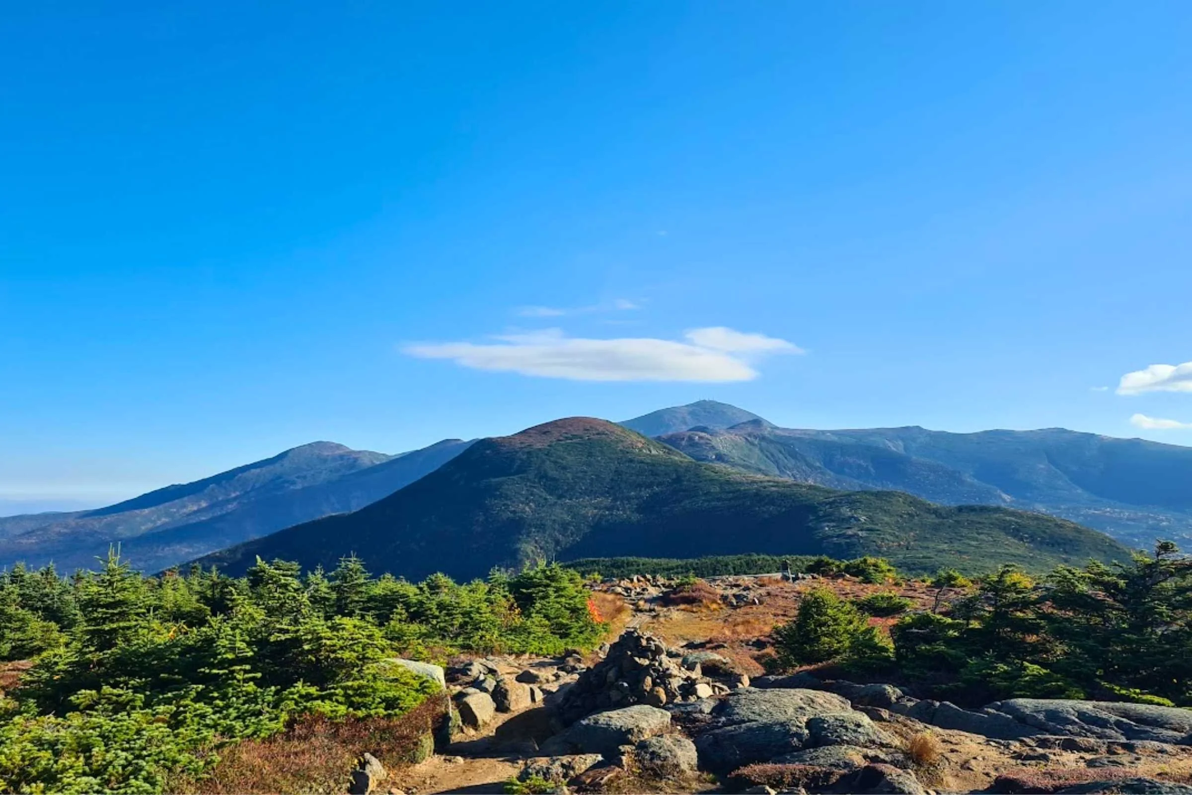
- Eisenhower (4,760 ft): A beautiful, rounded "bald" summit that offers 360-degree views.
- Pierce (4,310 ft): The final 4,000-footer of the trip. The summit is partially wooded, marking your return to the safety of the treeline.
Bailout points: If the weather turns or exhaustion sets in, common escape routes include the Jewell Trail (from the ridge toward the Cog Station) or Jefferson Notch Road. Do not hesitate to use them; the summits will always be there for another day.
FAQ
How hard is the Presidential Traverse?
The Presidential Traverse is considered one of the most difficult non-technical day hikes in the United States. It involves an approximate 9,000 feet of total elevation gain over 19 miles of extremely rocky terrain. Unlike trails in the West that use switchbacks, these New England trails often go straight up the fall line, requiring constant high-stepping and balance on unstable rocks. It is a significant physical and mental challenge that requires advanced preparation.
Can you hike the Presidential Traverse in a day?
Yes, it is possible to hike it in a single day, but it is a "feat of strength" that typically takes 12 to 17 hours. Long-distance trail runners and very fit hikers often attempt this during the summer solstice to take advantage of the longest daylight hours. However, for most people, a two-day or three-day itinerary is much more enjoyable and safer, as it reduces the risk of fatigue-related injuries on the technical descents.
What is the best time of year to do the Presidential Traverse?
The optimal window is from mid-July through mid-September. During this time, the snow has usually melted from the high ravines, and the mountain huts are fully operational. While June offers long days, it is also "black fly season" and can still feature dangerous snow bridges. Late September and October offer stunning foliage, but the weather becomes much more unpredictable, with a higher chance of early-season snowstorms and sub-freezing temperatures in the alpine zone.
Which direction is best for the Presidential Traverse?
Southbound (SOBO) is the preferred direction for most hikers. By starting at Appalachia and heading toward Crawford Notch, you get the most difficult, rocky climbs (Madison and Adams) out of the way while you have the most energy. The southern half of the traverse features slightly softer terrain and more gradual descents, which is much kinder to your knees at the end of a 19-mile day.
Is the Presidential Traverse dangerous?
It can be very dangerous if approached without respect for the environment. The primary threats are rapid weather changes, hypothermia (even in summer), and exhaustion. Because so much of the trail is above the treeline, there is nowhere to hide from lightning or high winds. However, with proper gear, a solid understanding of weather patterns, and the humility to use bailout points when necessary, it is a manageable and deeply rewarding adventure.