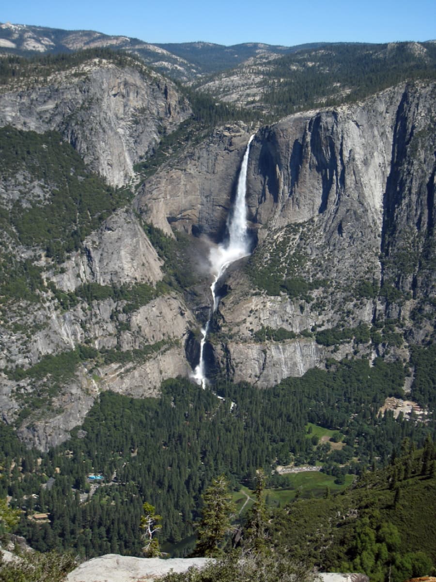
Seasonal
Yosemite National Park
Upper Pines Campground
Developed campground · Seasonal operating dates; check the current park campground page before travel.
Tent sitesVehicle-accessible sitesFood-storage rules
Loading the next section…
Yosemite National Park · CA
Core recommendation · 72/100 planning-readiness score
A strenuous Yosemite rim traverse connecting Glacier Point and Tunnel View through forest and a sequence of major valley overlooks.
Plan before you leave
Trailhead
Primary mapped access point
Parking
Arrange a legal point-to-point shuttle between Glacier Point and Tunnel View; verify current road service.
Permit
Yes. Required for overnight wilderness travel. Obtain a Yosemite wilderness permit and follow current camping-zone rules.
Road access
Use this point for trip orientation, then confirm current parking, road access, and closures with the managing agency.
Best seasons
Unknown / Check official source
Terrain
Mixed-conifer forest, Granite rim, Exposed overlooks
Dogs
Unknown / Check official source
Kid friendly
Unknown / Check official source
Map points are planning references, not turn-by-turn navigation. Confirm the correct trailhead and current road access.
Stay nearby
Yosemite National Park
Developed campground · Seasonal operating dates; check the current park campground page before travel.
Yosemite National Park
Developed campground · Seasonal operating dates; check the current park campground page before travel.
Why this trail fits
The official source describes sustained forest travel as a defining part of Pohono Trail.
Pohono Trail is documented within an officially designated U.S. national park.
The official source supports an overnight 1–3 day itinerary on Pohono Trail, with permit and campsite details shown on the route record.
Pohono Trail is a 12.5-mile point to point route in Yosemite National Park, California. The record is maintained from National Park Service source data and lists hard difficulty. A practical plan should use the published distance as a starting point, then adjust for the group's pace, daylight, navigation confidence, and current surface conditions. The stored time estimate is 8–10 hours as a day hike or 1–2 days with a wilderness permit, but it is an estimate rather than a promise about completion time.
The available terrain description is Mixed-conifer forest, Granite rim, and Exposed overlooks. The recorded 1,100 feet of climbing should be considered together with surface, weather, and pack weight. On a route of this length, plan an effort that leaves enough attention for navigation and enough reserve for the return or final segment. Steep grades, loose footing, heat, snow, mud, stream crossings, or a slower group member can change the day more than the mileage suggests. Use conservative turnaround points and compare the locally stored route information with a current official map before leaving the trailhead.
The parking note for this route is: Arrange a legal point-to-point shuttle between Glacier Point and Tunnel View; verify current road service.. The current record describes the permit requirement as “Yes.” Dog access is recorded as “Unknown / Check official source,” while the family-suitability field reads “Unknown / Check official source.” These fields can change with seasonal closures, local orders, construction, wildfire response, or resource protection. Confirm the trailhead, road conditions, parking capacity, fees, permits, leash rules, and any group-size limits with National Park Service before travel. Do not rely on a general forest or park boundary page as proof that a specific trailhead is open.
The stored seasonal guidance is Unknown / Check official source. The current access status is not published in the stored record; verify it again close to departure. Weather forecasts, fire restrictions, water availability, daylight, and road access deserve separate checks. Carry navigation that works without cell service, share the route and return time with someone off trail, and set a turnaround decision before fatigue or schedule pressure builds. The route graphic on this page is an orientation aid, not a navigation product.
Shared themes first
Routes sharing this trail’s themes rank first, followed by useful options in California.
 HardCore route
Crater Lake National Park · OR
 ModerateCore route
Olympic National Park · WA
 HardCore route
Crater Lake National Park · OR
 HardCore route
Grand Canyon National Park · AZ
 EasyCore route
Olympic National Park · WA
 HardCore route
Zion National Park · UT