Navigation
GPS and Offline Maps for Hiking
A resilient phone-and-GPS workflow built around offline data, battery planning, and non-digital backups.
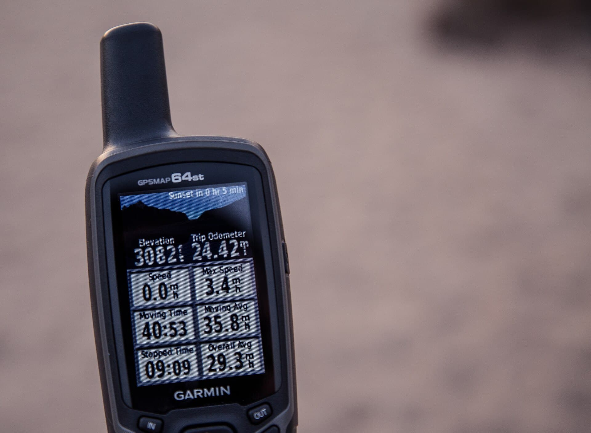
A resilient phone-and-GPS workflow built around offline data, battery planning, and non-digital backups. Treat devices as aids rather than proof that a route is open, safe, or legally accessible. Apply that focus to the actual route, athlete, weather, and current official information rather than a generic ideal.
Who this guide is for
This guide is for hikers who want a practical way to approach gps and offline maps for hiking. It explains planning and field decisions, but it cannot determine whether a particular route is safe today or whether an outing is appropriate for your health, experience, equipment, or group.
The central editorial rule is simple: Treat devices as aids rather than proof that a route is open, safe, or legally accessible. Current land-manager notices, event communications, and personal warning signs always override a general article.
The decisions that matter
- Confirm the intended route, direction of travel, major junctions, and a few unmistakable checkpoints before leaving the trailhead.
- Keep the map useful without a network connection and compare it with signs, terrain, and direction rather than following a screen blindly.
- Stop as soon as the route and surroundings disagree; solve uncertainty before additional distance turns it into a larger problem.
For gps and offline maps for hiking, these decisions work as a system. If one part changes—weather, access, terrain, available support, recovery, or daylight—reassess the rest of the plan instead of protecting the original goal.
A conservative workflow
- Define the real task for gps and offline maps for hiking. Write down the route or event demands, the conditions you expect, the equipment or support available, and the point at which the plan becomes unacceptable.
- Start below the limit. Use a lower-consequence setting to learn the skill or training demand without also adding excessive duration, speed, load, exposure, or technical terrain.
- Change one major variable. A longer session, steeper grade, heavier pack, worse weather, or more technical surface each adds stress. Combining them makes the result harder to interpret.
- Check the response. Notice pace control, coordination, navigation accuracy, equipment function, comfort, and next-day recovery. A completed session is not automatically a successful one.
- Keep an exit available. Set a turnaround time, shorter option, or easier substitute before motivation and sunk cost begin influencing the decision.
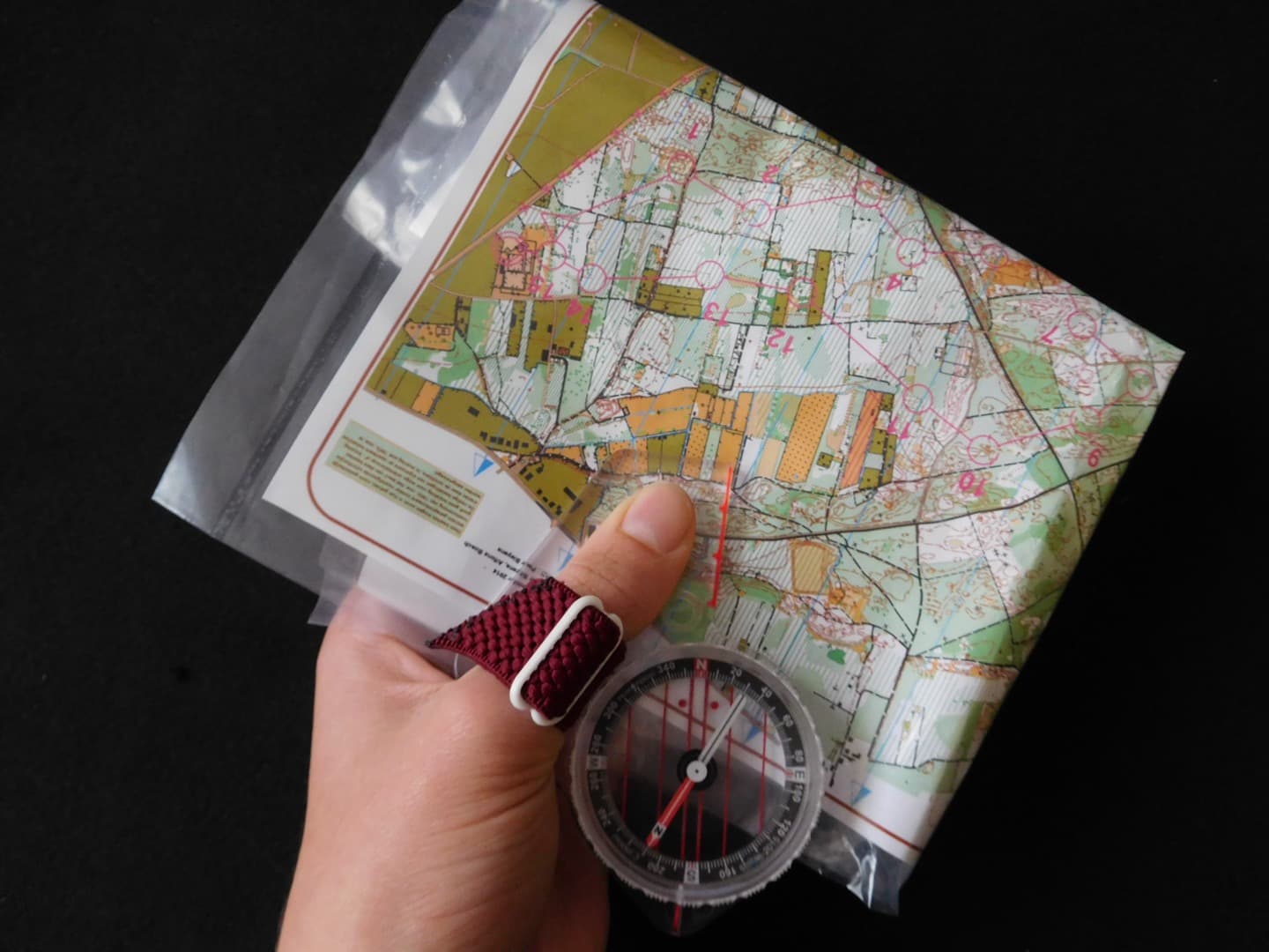
Practice on familiar ground where a wrong turn has low consequences. Say out loud what the map predicts, then verify it against the terrain.
Common mistakes
- Treating a published distance, rating, schedule, or checklist as a guarantee that the plan fits the person and current conditions.
- Adding several unfamiliar demands in the same outing and then being unable to identify what caused the problem.
- Waiting for a small concern to become severe before slowing down, stopping, returning, or asking for qualified help.
- Assuming that equipment, fitness, or race experience can replace current official information and conservative judgment.
Safety and medical boundaries
General outdoor education only. Conditions change quickly; check the land manager and weather forecast, turn around when needed, and seek emergency help.
For gps and offline maps for hiking, reduce or stop when movement changes because of pain, fatigue, dizziness, or loss of coordination. Chest pain, fainting, severe breathing difficulty, confusion, inability to bear weight, severe swelling, or rapidly worsening symptoms require prompt qualified medical or emergency evaluation. For outdoor hazards, follow closures and official warnings; do not improvise around a boundary.
Turn the guidance into a trip plan
A resilient phone-and-GPS workflow built around offline data, battery planning, and non-digital backups. The useful next step is to translate that idea into one specific outing rather than treating it as background knowledge. Start with the route, date, people, expected weather, available daylight, and the official land-manager page. Then write down the decision that would make you shorten, postpone, or cancel the outing. For gps and offline maps for hiking, the working priority is: Treat devices as aids rather than proof that a route is open, safe, or legally accessible. That priority should remain visible when enthusiasm, schedule pressure, or a strong group begins pulling the plan in another direction.
For gps and offline maps for hiking, separate facts from assumptions. A mapped distance, a familiar trail name, or a favorable forecast does not confirm the condition of the access road, water sources, snow, stream crossings, fire restrictions, or every person in the group. Mark each unknown and decide how you will resolve it. If an unknown affects navigation, exposure, required equipment, or the ability to turn around safely, resolve it before departure instead of hoping the trail will answer it for you.
A decision card for GPS and Offline Maps for Hiking
- Objective: State the minimum useful goal for the outing and an easier alternative that would still make the day worthwhile.
- Current information: Reopen the land-manager notice, weather forecast, map, and access information close to departure.
- People: Match pace, distance, exposure, and responsibility to the least experienced or least recovered member of the group.
- Equipment: Connect every critical item to a real need such as navigation, insulation, water treatment, light, first aid, or emergency communication.
- Turnaround: Set a time, location, weather trigger, or physical warning sign that ends the outward portion of the trip.
- Communication: Leave the route, vehicle location, expected return, and overdue action with someone who is not on the outing.
The gps and offline maps for hiking card is most useful when it is short enough to read at the trailhead. If the answers changed during the drive, change the plan before starting. A smaller objective with clear margins is a stronger field decision than completing the original objective after the assumptions supporting it have failed.
Use the sources for the right questions
For gps and offline maps for hiking, use USGS — Topographic Maps for primary reference for u.s. topographic map concepts and official map products. use National Park Service — Ten Essentials for baseline pre-trip equipment, navigation, hydration, and emergency categories. These references provide general or official guidance, but a nationwide safety page cannot report the current condition of a particular trail. Pair topic guidance with the page maintained by the agency responsible for the actual route. When two sources appear to conflict, prefer the more specific and more current instruction, and contact the managing office when the consequence of guessing would be high.
Keep a lightweight gps and offline maps for hiking record of what you checked and when. Save the relevant notice or map for offline use, note any office conversation, and avoid passing an old screenshot to another hiker as if it were current. Source discipline is part of outdoor judgment: it makes later decisions explainable and reduces the chance that confident but stale information becomes the plan.
Review the outing and improve one variable
After an outing focused on gps and offline maps for hiking, compare the plan with what happened. Note actual moving time, breaks, navigation delays, water use, temperature, footing, equipment problems, and the point when attention or pace began to fade. The purpose is not to grade the outing; it is to make the next estimate less generic. Keep the observations that changed a decision and discard numbers that do not help with planning.
For the next outing that applies gps and offline maps for hiking, change one major demand at a time. More distance, more climbing, a heavier pack, colder weather, less daylight, unfamiliar navigation, and a larger group all add complexity. Holding most variables steady makes it easier to learn whether the adjustment was appropriate. If the day exposed a safety gap, practice that skill in a lower-consequence setting before relying on it farther from the trailhead.
Sources and update note
- USGS — Topographic Maps — Primary reference for U.S. topographic map concepts and official map products.
- National Park Service — Ten Essentials — Baseline pre-trip equipment, navigation, hydration, and emergency categories.
This original guide to gps and offline maps for hiking synthesizes the cited official or primary sources. It does not reproduce their prose or replace current official instructions. Readers should recheck source links, current conditions, and safety guidance before each outing. Last content update: 2026-07-27.