Permit
Verification in progressA route-specific official conclusion has not yet passed the evidence check. Confirm this item with the land manager before travel.
Loading the next section…
Chattahoochee-Oconee National Forests · NC
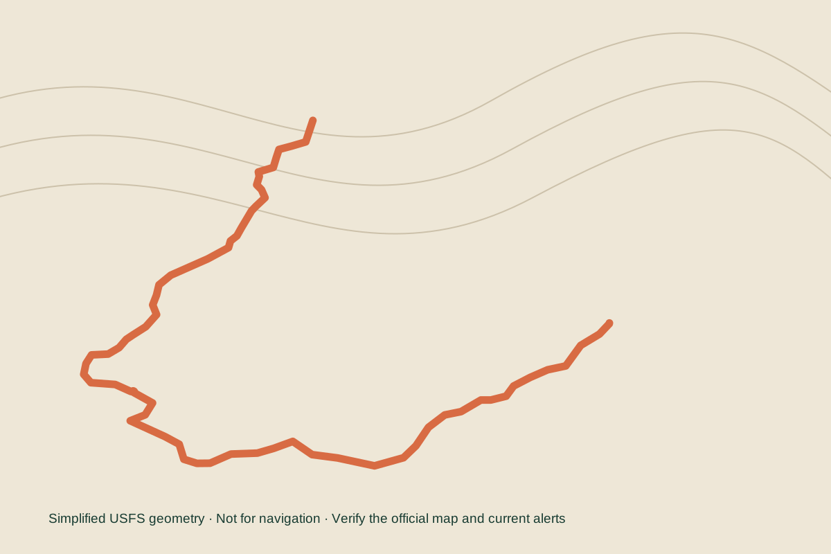
Bartram 164 is a mapped USDA Forest Service trail in Chattahoochee-Oconee National Forests, North Carolina. Forest Service GIS linework reports 35.9 miles across 1 mapped feature and 4 segments. Published TrailNFS fields identify Terra trail type, Nat - Native Material surface. The agency design record lists typical grade 12-20% and typical tread width TW03 - 18-24 INCHES. Legally allowed uses published for at least one mapped segment include Hiker/Pedestrian. The official designation field records National Trail other than National Scenic or Historic. Official recreation data links the route to Chattooga River Trailhead and War Woman Dell Trailhead; the page below preserves the agency's directions, fees, and restrictions when published. Current permit, entry, road, parking, shuttle, and closure conclusions are shown separately and remain unknown until route-specific evidence passes the publication checks.
 Area context
At a glance
Before you go
Unknown categories stay visible while the official source is being verified. They are never treated as “not required.”
A route-specific official conclusion has not yet passed the evidence check. Confirm this item with the land manager before travel.
A route-specific official conclusion has not yet passed the evidence check. Confirm this item with the land manager before travel.
A route-specific official conclusion has not yet passed the evidence check. Confirm this item with the land manager before travel.
A route-specific official conclusion has not yet passed the evidence check. Confirm this item with the land manager before travel.
A route-specific official conclusion has not yet passed the evidence check. Confirm this item with the land manager before travel.
A route-specific official conclusion has not yet passed the evidence check. Confirm this item with the land manager before travel.
Getting there
These locations come from the managing agency and are matched to the published route geometry. Directions, fees, and restrictions are shown exactly as agency facts—not as a current availability guarantee.
32 m from the published route geometry
247 m from the published route geometry
Forest Service dataset
These are segment display and management designations from the Forest Service dataset. They do not prove current road, trail, or seasonal availability.
These are Forest Service management fields retained with their published date ranges. They do not prove that the route is currently open.
Recorded value: 01/01-12/31. This is retained with the Forest Service meaning. It is not a best season recommendation or proof that the route is currently open.